MRK Trail
Description: The MRK Trail (Milwaukee-Racine-Kenosha) is 5 miles long and is located in northeast Racine County. It runs along a power line that is next to the Chicago and Northwestern Railroad ROW, and it is relatively flat. The northern end of the trail is at Seven Mile Road, just east of STH 32 and one mile south of the Milwaukee County line. The southern end is at Layard Street in Racine, a little over a mile northwest of downtown Racine. The trail isn't very scenic, with power lines and a railroad adjacent, but it is a fast way to get from Milwaukee County to the City of Racine.
Map: MRK Trail (used with permission from Mark Hintz)
Length: 5 miles
Surface: Crushed Limestone
Access Fee: free
Facilities on the Trail: There is a spur to Cliffside Park on the northern segment. The southern terminus ends near lots of chain businesses.
Connections: There are no direct connections to any other trail. However, the northern terminus is only about three miles from the Oak Leaf Trail North Shore Spur in Oak Creek. Follow Seven Mile Road west for 1/2 mile, STH 32 north for 1.5 miles, and then County Line Road west for 1 mile. In the City of Racine there are some trails to follow, as shown on a photo below.
Photos: (taken 8/2/03)

 Unfortunately the name of the trail isn't signed. Unfortunately the name of the trail isn't signed.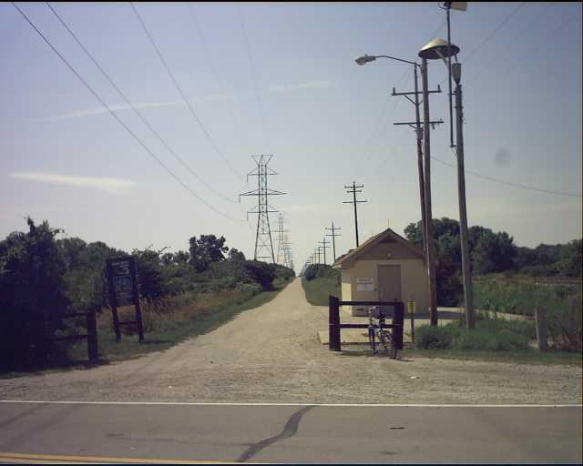 Looking south at 7 Mile Road. This scene is typical of the trail.
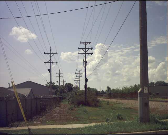 This is looking south at the southern end of the trail at Layard Street. It could potentially continue on past this point.
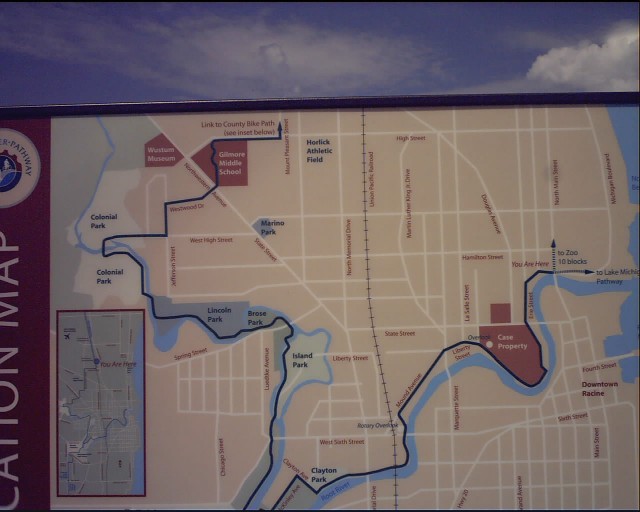 Map of the City of Racine trails
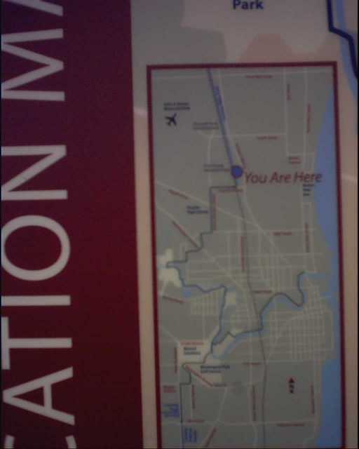 Map of the trail connections
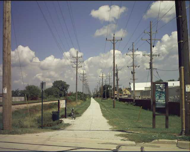 Looking north at the southern terminus
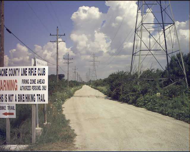 Looking north across 7 Mile Road. This is private land, but has the potential to become a trail in the future.
 |