Editor's note: This page was found on the scrap heap from my 1998 Geocities web hosting. I've made minor cosmetic alterations and reposted it here. Some of the maps are somewhat outdated.
These are some of the maps I have edited, to make the highways of the region more suitable to my tastes: (note: these maps are very large, so if you are on a slow line, watch out)
|
|
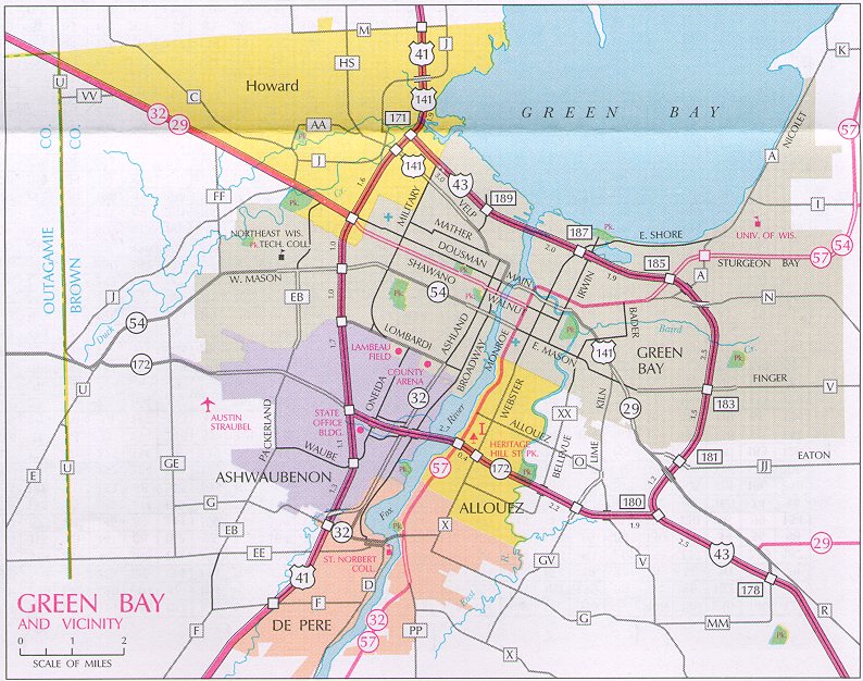
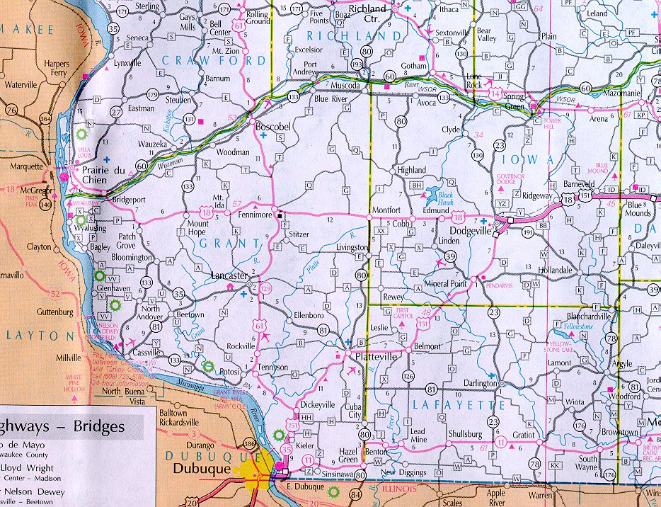
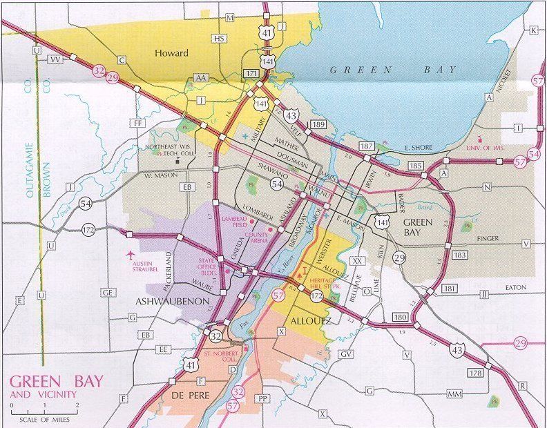
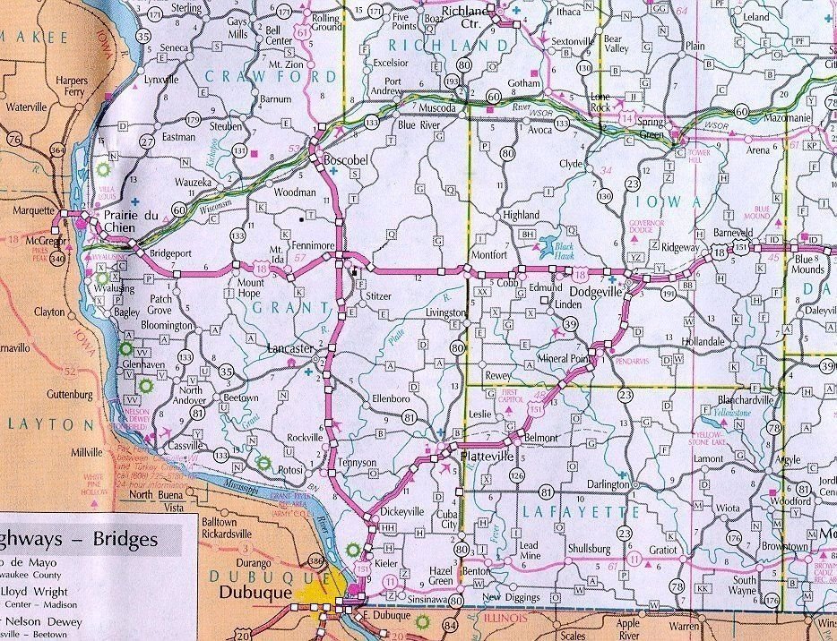
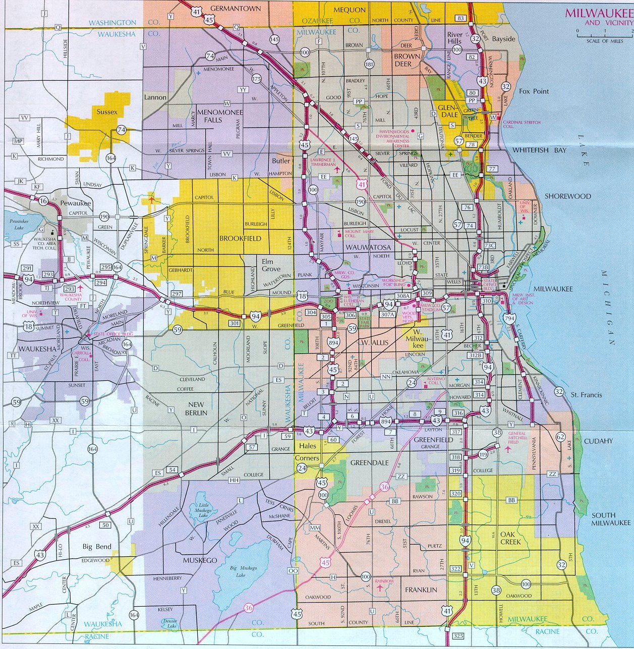
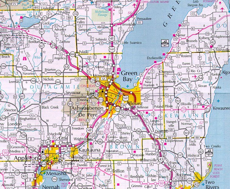
Here are some maps that I have scanned in, that are either partly edited or not at all. Unless noted, the maps are unedited.
Here is an awesome resource for getting aerial photos. It covers a good portion of the USA, and some other parts of the world.
Microsoft Terraserver (Large files)